


Woolpert is redefining how the African continent approaches geospatial intelligence. From offices in Johannesburg and Cape Town, the company pairs decades of local experience with some of the most advanced aerial mapping and remote-sensing technologies in the world. As a global leader in Architecture, Engineering and Geospatial, Woolpert has more than a century of innovation, 75 offices across five continents, and over 3,500 professionals. In Africa, Woolpert delivers world-class capability backed by decades of local experience and remains firmly anchored in regional realities and priorities.
Nowhere is this more evident than in the mining sector. Woolpert supports the full project lifecycle with geospatial intelligence that improves decision-making, accelerates timelines, and strengthens environmental stewardship.
During exploration, detailed land-use mapping, population analysis, and environmental baselining help teams understand the areas they plan to operate in – an essential foundation for responsible access. In feasibility and planning, high-resolution topography, flood modelling, and surface analysis reduce uncertainty and shape better designs. As projects move into construction, terrain models and environmental baselines guide infrastructure development, from roads to tailings storage facilities (TSFs). In the operations phase, annual check surveys of stockpiles, pits, and TSFs provide precise data that enhances safety, compliance, and productivity. While during rehabilitation and closure, long-term monitoring of vegetation recovery, backfill progress, and environmental indicators support transparent ESG reporting and helps build lasting community confidence.
Underpinning this lifecycle is a seamless data pipeline powered by cloud processing and AI-enabled analytics – ensuring insights are consistent, fast, and decision-ready.
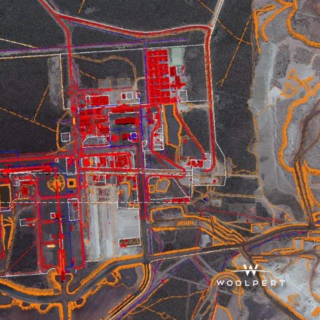
Woolpert is also a pioneer in large-scale lidar acquisition, having delivered some of the continent’s most ambitious airborne mapping campaigns. High-density lidar supports pit optimisation, slope-stability assessments, and accurate mine-planning models, while corridor mapping helps refine alignments for rail expansions, haul roads, and port-access routes. Through multi-sensor platforms that integrate lidar, hyperspectral, thermal, and photogrammetry, Woolpert provides a multidimensional view of landscapes and assets across more than 45 African countries.
Complementing airborne surveys, satellite-based remote sensing strengthens day-to-day operations. Hyperspectral and thermal imagery sharpen mineral targeting and assess the health of natural and built assets, while InSAR provides millimetre-scale ground-movement monitoring – detecting subsidence, slope creep, and TSF deformation before they become risks.
Woolpert’s African presence also aligns closely with growing U.S. government priorities around critical minerals, resilient supply chains, and sustainable development. With deep experience supporting U.S. federal agencies, Woolpert is uniquely positioned to help translate policy objectives into practical progress – improving supply-chain visibility for cobalt, copper, rare earths, and manganese, mapping strategic corridors, and enabling transparent ESG oversight.
The outcome is clear: safer operations, more responsible resource development, and long-term economic growth – powered by geospatial intelligence that leaders can trust.